

April 2026: The Sichuan Basin to Tibetan Plateau Expedition has begun, you can follow the daily posts from the field here while we are travelling, and we will update the regular news page when we are back…
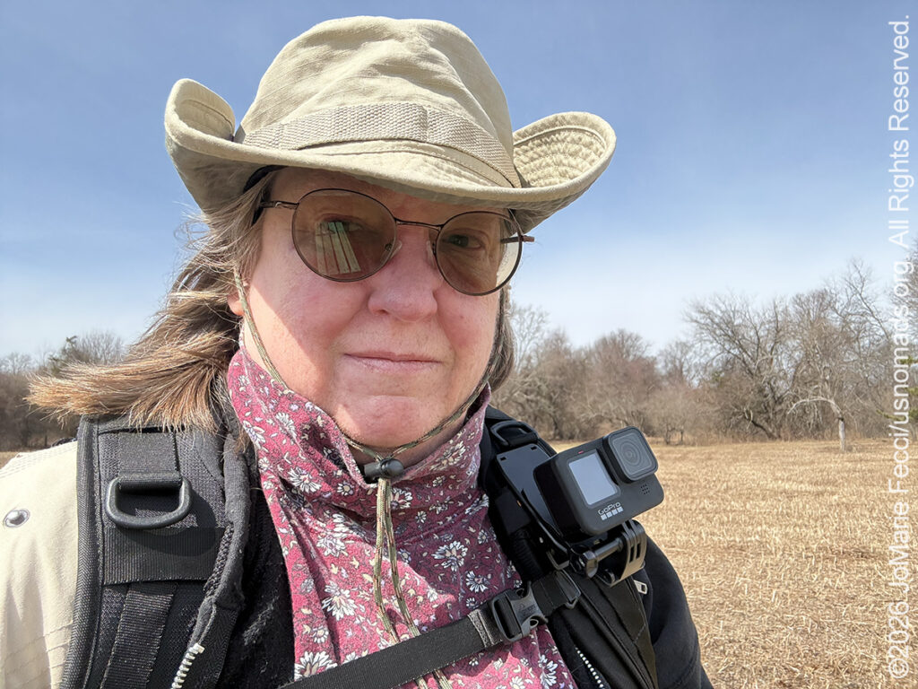
20 March 2026: Another series of camera tests, this time with the GoPro. The goal is to figure out the best settings and positioning for the GoPro in different circumstances. I will primarily be using it for time-lapse night and sunrise/set shots, but as I am bringing it I am trying to determine how else I can use it, and one idea was to “wear” it while walking thru scenes when I won’t have a lot of time for a carefully thought out photoshoot just to pick up some ambient shots…
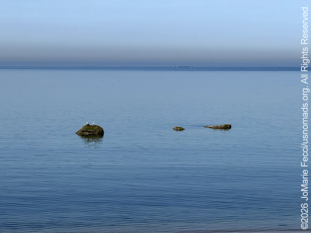
10 March 2026: The weather has finally eased up enough to get outside and the snow has mostly melted. I took advantage of the first nice day to go for a short hike at the Weld Sanctuary, one of my favorite nearby trails that leads to the beach. When I got to the beach the water was so calm and everything was just perfectly quiet and still — such a contrast to the harsh winter storms and winds that made it impossible to get outdoors for most of the last three months …
THIS MONTH:
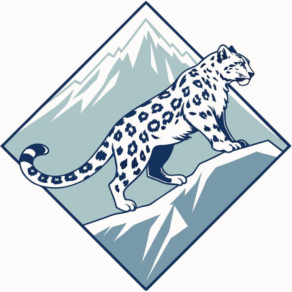
We will be taking part in an international overland expedition from the Sichuan Basin to the Tibetan Plateau in April, where we will be tracking snow leopards and working with local nomadic herders in cooperation with wildlife conservation efforts that aim to reduce human-wildlife conflict in one of the most remote areas of China…
COMING UP SOON:
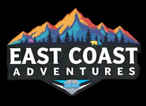
The original Team USnomads is getting together for a little bit of fun and adventure on the east coast this May. Details are still being worked out, but it is sure to be a great time…
![]()
Taking part in a series of Orienteering Events around Long Island this Spring: Saturday, April 25th at West Hills North, Sunday May 17th at Muttontown and Sunday June 7th at West Hills South.
…
![]()
USnomads.org is very proud to be presenting the fifth edition of the Nomad Rally in 2026. This is a unique kind of rally experience — a ten week event that participants can do from anywhere within the continental U.S.A. Competitors design their own routes as part of the rally, then drive it in a points-based online competition that includes optional activity tasks, quests and weekly challenges. The 2026 rally will run from 8 June – 17 August and is open to any driver within the United States who has an off-road capable vehicle — stock or modified. Registration for 2026 is currently open. For more information see the Rally website …
Nesconset | Paris | Belgrade | Beijing | Chengdu | Wolong | Zhonglu | Tagong | Ganzi | Derge | Yushu | Haxiu

MORE NOTES FROM THE ROAD:
February – New York
16-31 January – New York
1-15 January – New York
27-31 December – Holiday Roadtrip
22-26 December – Holiday Roadtrip
16-21 December – Holiday Roadtrip
1-15 December – Holiday Roadtrip
November – New York
22-31 October – Paris
16-21 October – Paris
1-15 October – Paris
22-30 September – Vermont
13-21 September – Vermont
1-12 September – New York
16-31 August – New York
1-15 August – New York
July – New York
June – New York
May – New York
Archive
ROADTRIP

An epic journey crisscrossing the USA from east to west and back again, exploring some of the beautiful wild spaces that make up our “public lands.” The roadtrip covered almost 15,000 miles, much of it off-grid and off-pavement, focusing on the deserts of the American southwest. Some locations were truly “iconic” while others were little known, and the segments of independent exploration where punctuated with some fun events across the region… [read]
SPECIAL REPORT
All about exploring ghost towns and abandoned places in the USA and beyond, with tips, and information on the many different types of sites to be found across the globe, including detailed guides for eight specific sites… [read]