
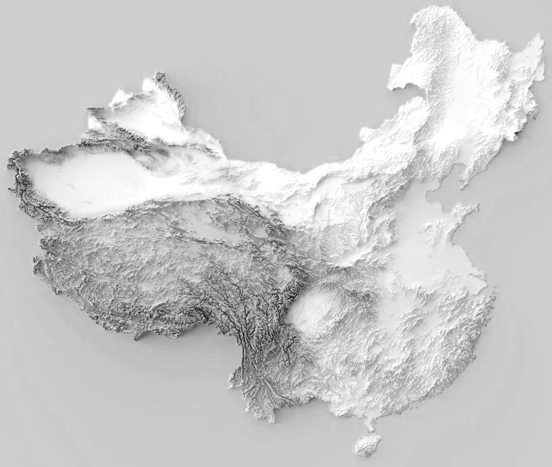
The Time-Traveler’s Return: Crossing the International Date Line
The journey from the humid basin of Chengdu back to the familiar skyline of New York City is more than a flight; it is a profound exercise in temporal distortion…
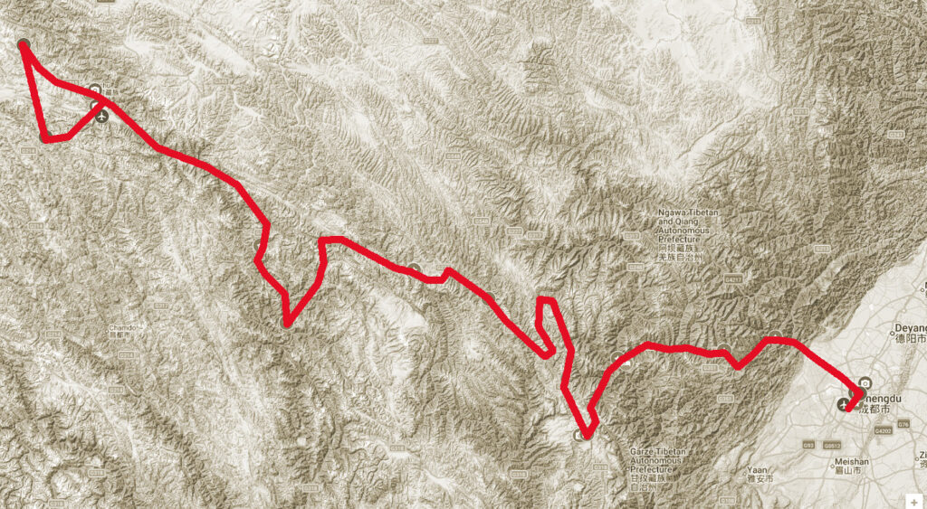 Click to view full route
The journey from the humid basin of Chengdu back to the familiar skyline of New York City is more than a flight; it is a profound exercise in temporal distortion…

The lowlands of Chengdu find their soul in the explosive, colorful, and lightning-fast world of Sichuan Opera…

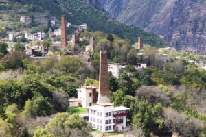
After the spiritual stillness of Yushu, Chengdu greets you with a vibrant, sensory-rich landing…
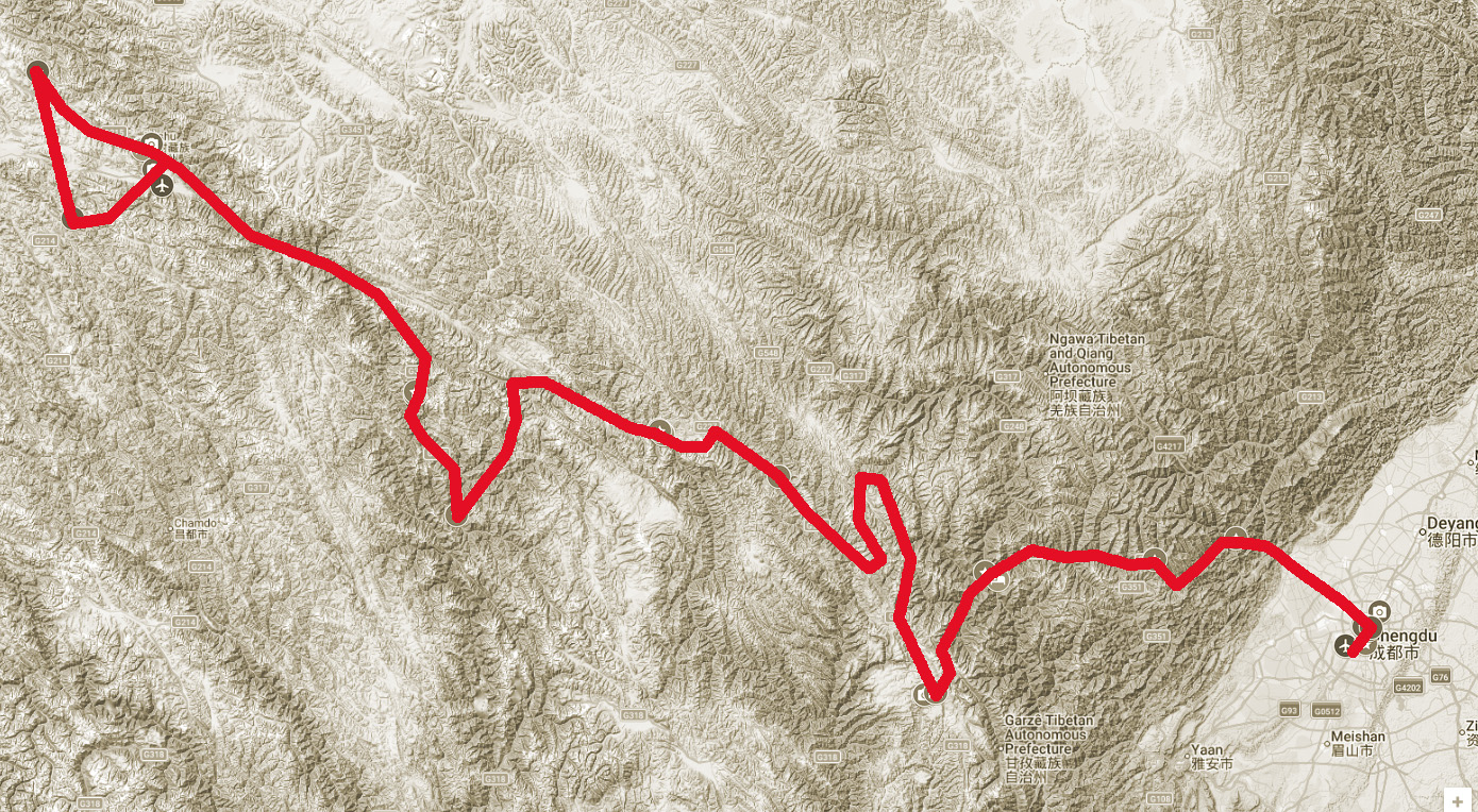

We start the Overland
Journey from Chengdu
at the edge of the
Sichuan Basin.
ELEVATION: 1,640 ft.
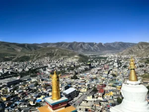
We leave the city and start
the dramatic climb up to
the plateau to the first
Tibetan villages.
ELEVATION: 6,890 ft.
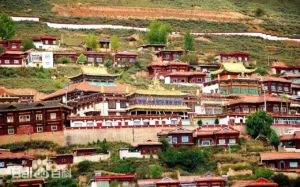
We begin the deep dive into
the unique culture and
religious practices.
ELEVATION: 12,220 ft.
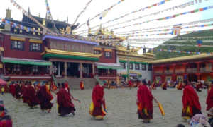
 Ancient Monasteries and
wide open spaces.
ELEVATION: 11,154 ft.
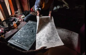
Ancient printing
techniques and the
Khampas
ELEVATION: 10,700 ft.
Reaching the edge of the
Sanjiangyuan and the start
of the main mission.
ELEVATION: 12,103 ft.
 Wildlife monitoring zone
and meetings with herders
ELEVATION: 12,467 ft.

Wildlife monitoring zone
and meetings with herders
ELEVATION: 14,763 ft.
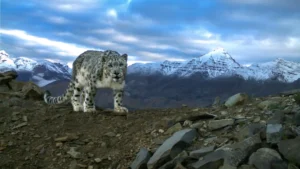
Wildlife monitoring zone
and meetings with herders
ELEVATION: 14,074 ft.