
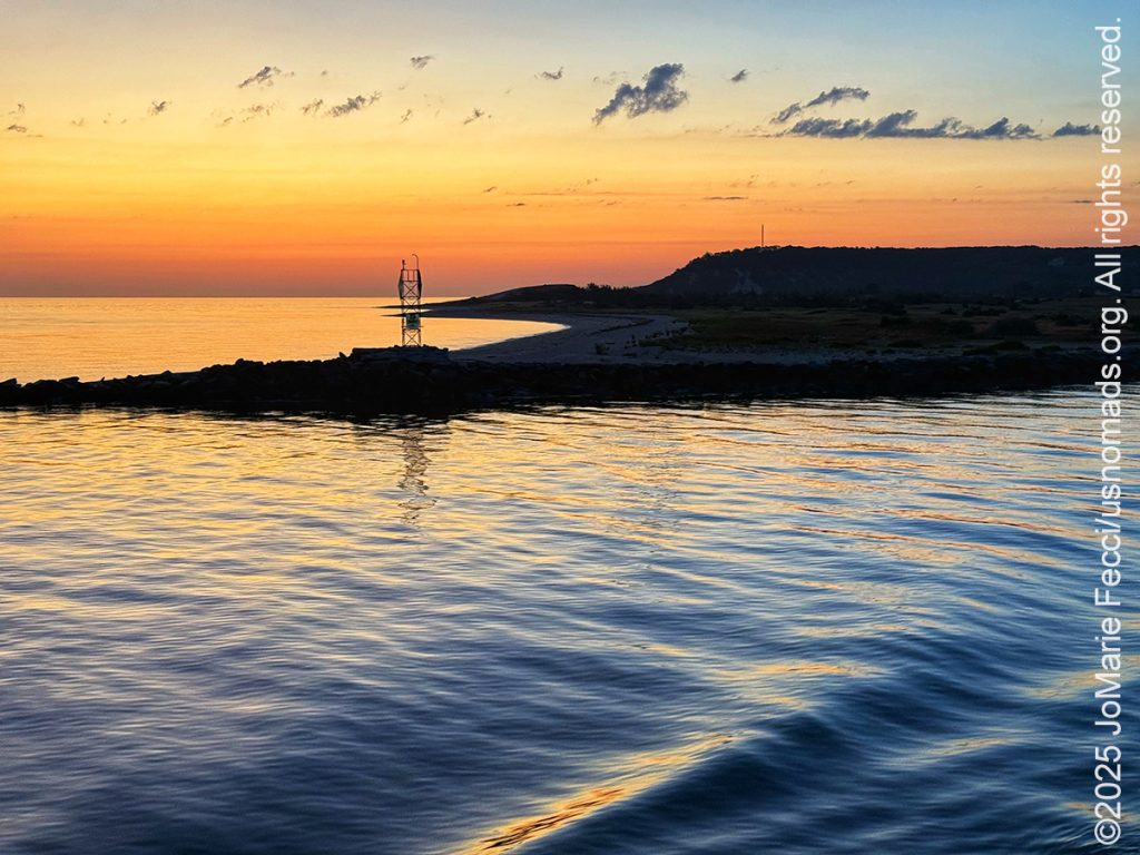
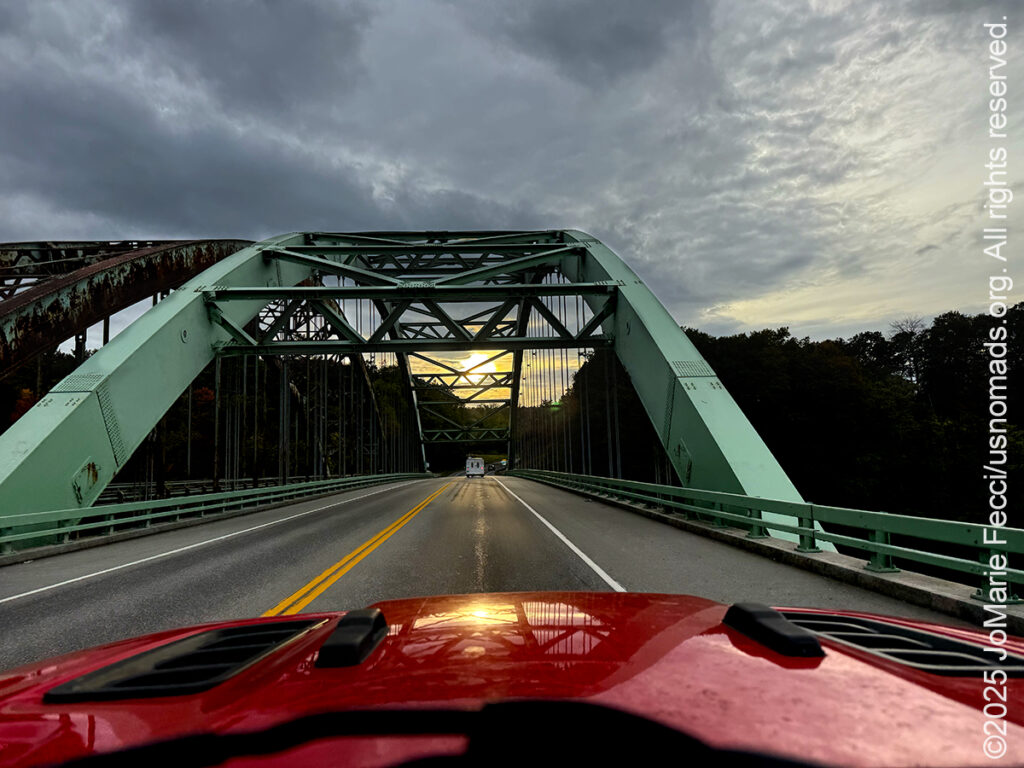
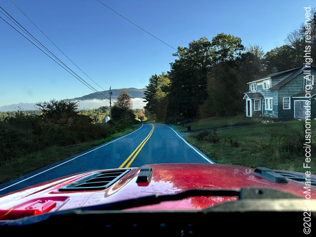
DAY 1 — The adventure begins in the dark of night. I was up by 4:30am and out the door by 5:15 in order to make it to the Port Jefferson Ferry in time for the 6:00am departure. It was still dark as the ferry pulled away from the dock and set off across the Long Island Sound, making the first leg of this overland journey a “water crossing.” I am heading to Vermont to spend a few weeks exploring before joining the folks at the Bonnyvale Environmental Education Center for a unique workshop focused on beavers (more about that later on) and I’ve put together a somewhat ambitious route plan. Today will be a big drive day as I make my way from Long Island through Connecticut and Massachusetts and on into Vermont’s Green Mountains where I will set up my first “base camp” of the journey… [read more]
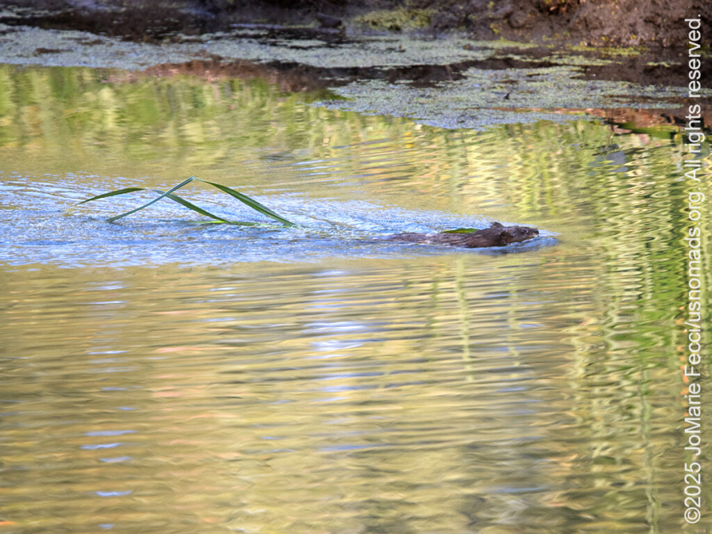
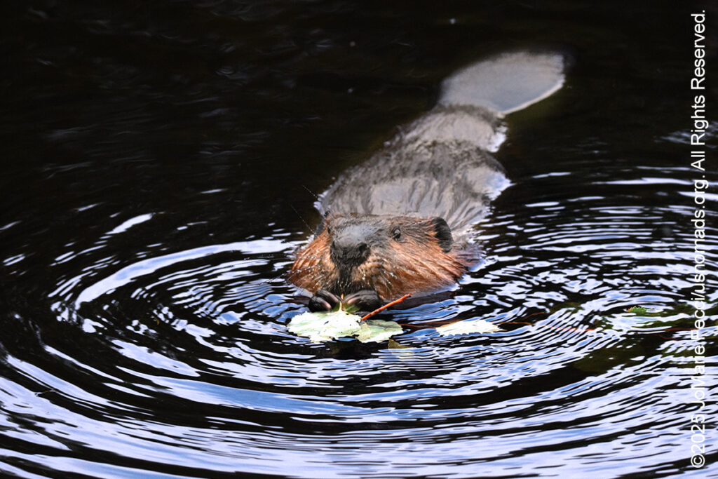
DAY 2 — Got an early start on the day again because I just happened to wake up a little before 6am, and I decided to use the time to go scouting for beavers. Beavers are essentially nocturnal animals, but I figured it might be possible to catch some activity in the early morning around sunrise. I had heard there was some beaver activity around Lefferts Pond next to the Chittenden Reservoir and I jumped in the Jeep and headed in that direction… [read more]
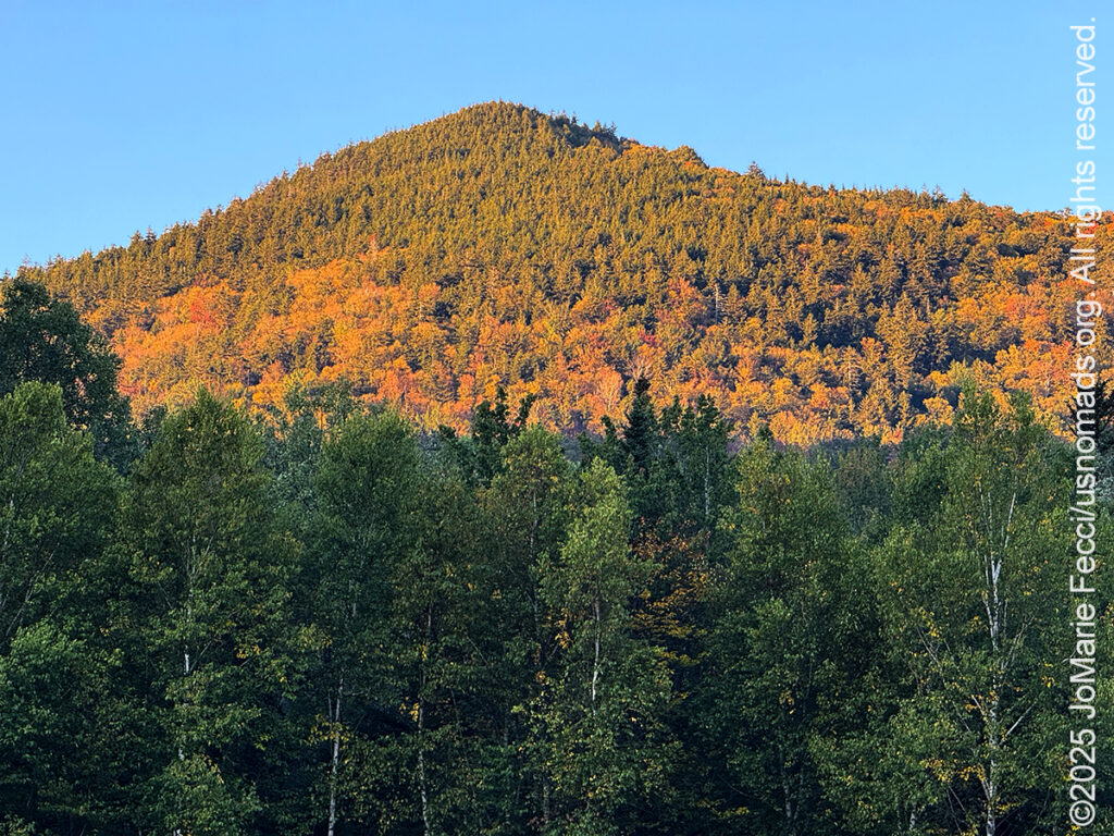
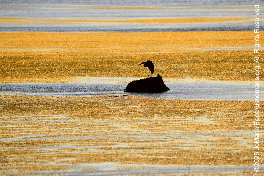
DAY 3 — My plan this morning was to catch the sunrise at Chittenden Reservoir and I left camp in the dark of night to be there ahead of the sun. The only problem was I hadn’t realized that the sun would not “rise” over the mountains where I thought it would — or rather, that view was blocked by a little strip of land with lots of trees, and I couldn’t get an angle that would capture the “rise” from this side of the lake without running into the dam structure. Oh well, it was a beautiful and peaceful morning to sit on the edge of the shoreline looking out over the blue lake at the smoke rising from the water near the distant treeline… [read more]
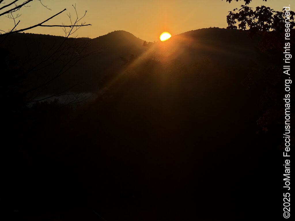
DAY 4 — I was still looking for a good place from which to catch the sunrise this morning and had heard that it might be good to go up to a place called “Mountain Top” which is some kind of resort-hotel complex at the top of a mountain, as the name implies. I left camp while it was still dark, and made it up there just in time for the sun to crest over the top of the distant mountains. The fact that I had to take the photo from a parking lot, rather than from the edge of the forest made it a little bit surreal. There was no way to access the forest from here because all access was “private property” of the resort itself… [read more]
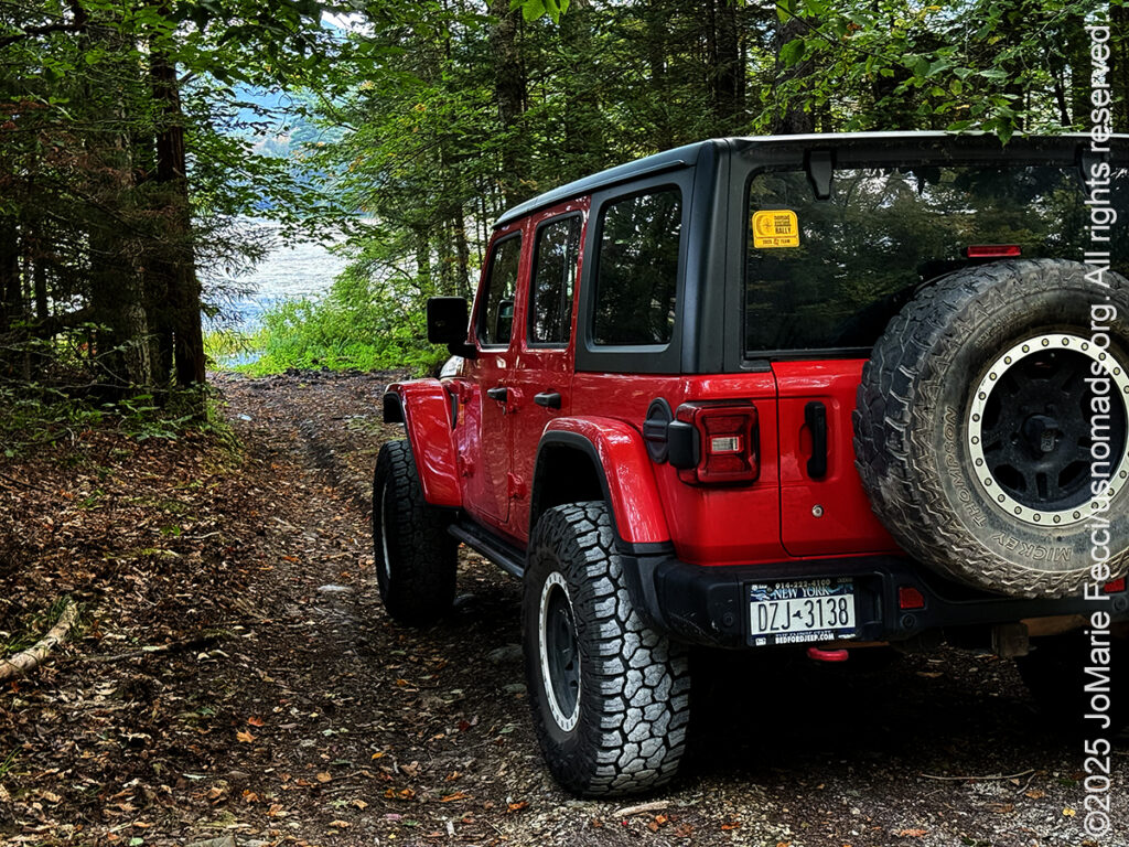
DAY 5 — The morning was a bustle of activity as I loaded the Jeep and left Chittenden Brook campground and the Green Mountain National Forest behind. I headed North towards Burlington and the old industrial center of Winooski. It was only 65 miles away, but the drive took me “out of the woods” and into “civlization”– that is to say, an urban environment, and one with a very interesting history. Winooski is an Abenaki name meaning “land of the wild onion” and the city is sometimes referred to as “Onion City,” but what it is really known for is it’s foundational role in New England’s textile industry… [read more]
DAY 6 — Last night I studied my maps and the iNaturalist app to try to identify a promising location for beaver scouting in the Colchester area. I had heard that there was beaver activity near the mouth of the Winooski River, but zeroing in on the exact part of the river where the beavers had been sighted was not an easy task. Looking at the app I could see clusters of sightings and sign reported relatively recently, but getting near enough to the locations to have a clear view of the river would prove challenging. The main problem is “private property” — that is to say that almost all access to the river banks is “blocked” by privately owned land… [read more]
DAY 7 — Today I left the “mainland” and crossed Lake Champlain to begin exploring the “Champlain Islands,” a series of small islands in the middle of the lake, nestled between Vermont’s Green Mountains and the Adirondacks of New York. Set off by geography and by their own unique sense of time and place, the Champlain Islands are truly a world apart. Leaving the Winooski River Delta and the greater Burlington area, I passed through the otherworldly wetlands landscape of the Sand Bar National Waterfowl Management Area. One of the most ecologically significant wetland complexes in the region… [read more]
DAY 8 — … [read more]
DAY 9 — … [read more]
DAY 10 — … [read more]
DAY 11 — … [read more]
DAY 12 — … [read more]
DAY 13 — … [read more]
DAY 14 — … [read more]
DAY 15 — … [read more]
DAY 16 — … [read more]
DAY 17 — … [read more]
ABOUT THE JOURNEY
JoMarie Fecci, of USnomads.org, set off on a fun overlanding adventure exploring around the state of Vermont for a few weeks in September. Driving and camping out of her 2019 JL Rubicon, she was able to check out several different regions and enjoy some local cultural and historic sites while en route to “Beaver Camp” at the Bonnyvale Environmental Education Center in Brattleboro. The 2nd Annual “Beaver Camp” is a workshop event dedicated to resolving human-wildlife conflicts with workable solutions that allow the beavers to continue their important role as a keystone species restoring and conserving wetland ecosystems.
WHERE WE ARE
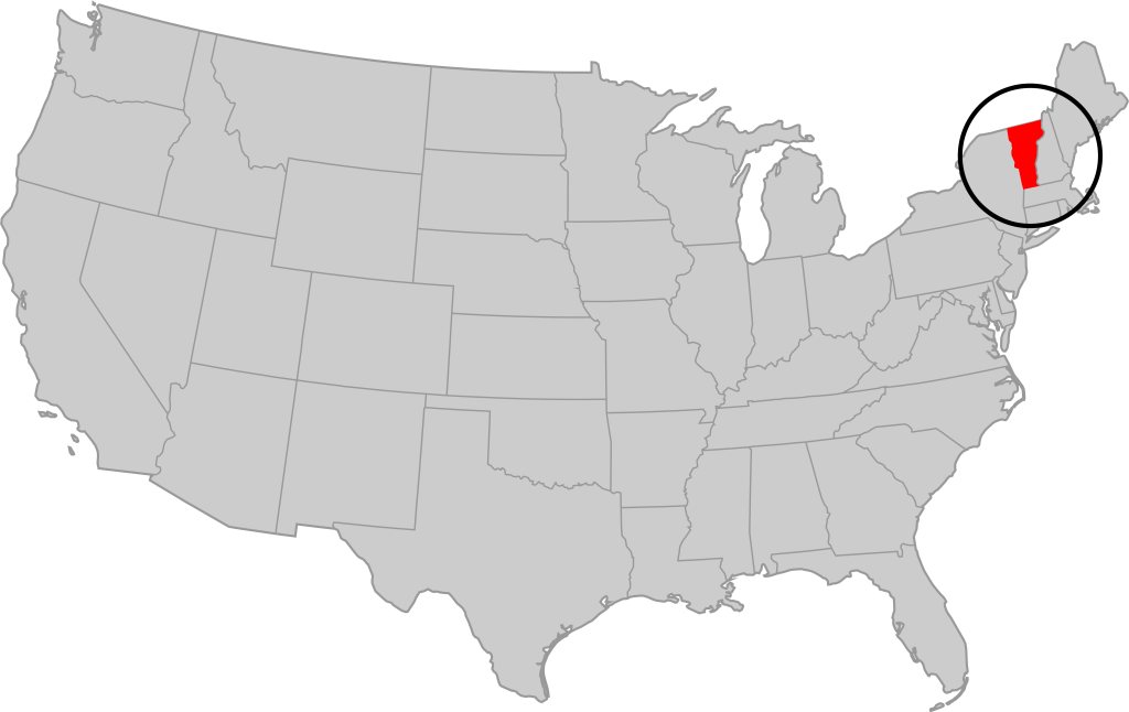
Vermont is part of the “New England” region of the United States. It borders Massachusetts to the south, New Hampshire to the east, New York to the west, and the Canadian province of Quebec to the north. The geography of the state is marked by the Green Mountains, which run north–south up the middle of the state, separating Lake Champlain and other valley terrain on the west from the Connecticut River Valley that defines much of its eastern border. A majority of its terrain is forested with hardwoods and conifers. The Algonquian-speaking Abenaki and Iroquoian-speaking Mohawk were active in the area at the time of European encounter, but the history of the indigenous peoples here goes back about 12,000 years. The first humans to inhabit what is now Vermont arrived as the glaciers of the last ice age receded. Small groups of hunter-gatherers followed herds of caribou, elk, and mastodon through the grasslands of the Champlain Valley. At that time much of region was mixed tundra. The oldest human artifacts are 11,000 year old projectile points found along the eastern shore of the saltwater Champlain Sea. This time is known as the Paleo-Indian period. By about 8,000 years ago, the Champlain Sea had become the freshwater Lake Champlain and the climate was more temperate, bringing increased diversity of flora and fauna. By about 4,300 years ago, the forests were as they are today. Large mammals underwent extinction or migrated north, and the human population became reliant on smaller game and plants. Most of the state’s territory was occupied by the Abenaki, south-western parts were inhabited by the Mohicans and south-eastern borderlands by the Pocumtuc and the Pennacook. In 1609, Samuel de Champlain led the first European expedition to Lake Champlain. He named the lake after himself and made the first known map of the area. The French maintained a military presence around Lake Champlain, since it was an important waterway, but they did very little colonization. In 1666, they built Fort Sainte Anne on Isle La Motte to defend Canada from the Iroquois. It was abandoned by 1670. The English also made unsuccessful attempts to colonize the area in the 1600s. In 1724, they built Fort Dummer near what is now Brattleboro, but it remained a small and isolated outpost, often under attack by the Abenaki. Vermont became the 14th state of the United States on March 4, 1791. From north to south, Vermont is 159 miles long. Its greatest width, from east to west, is 89 miles at the Canada–U.S. border; the narrowest width is 37 miles near the Massachusetts border. There are fifteen U.S. federal border crossings between Vermont and Canada. Several mountains have timberlines with delicate year-round alpine ecosystems. The state has warm, humid summers and cold, snowy winters. The topography and climate make sections of Vermont subject to large-scale flooding, and extreme rain and flooding events are expected to intensify with climate change.
THE COMPLETE JOURNEY
The Journey to Vermont
Wetlands and a Maple Syrup Story
Scouting for Beaver Sign
Waterfalls and Drought
A Short History of Textile Mills
Cheddar Cheese and Beavers
Lake Champlain Islands
Exploring the North
Ancient History
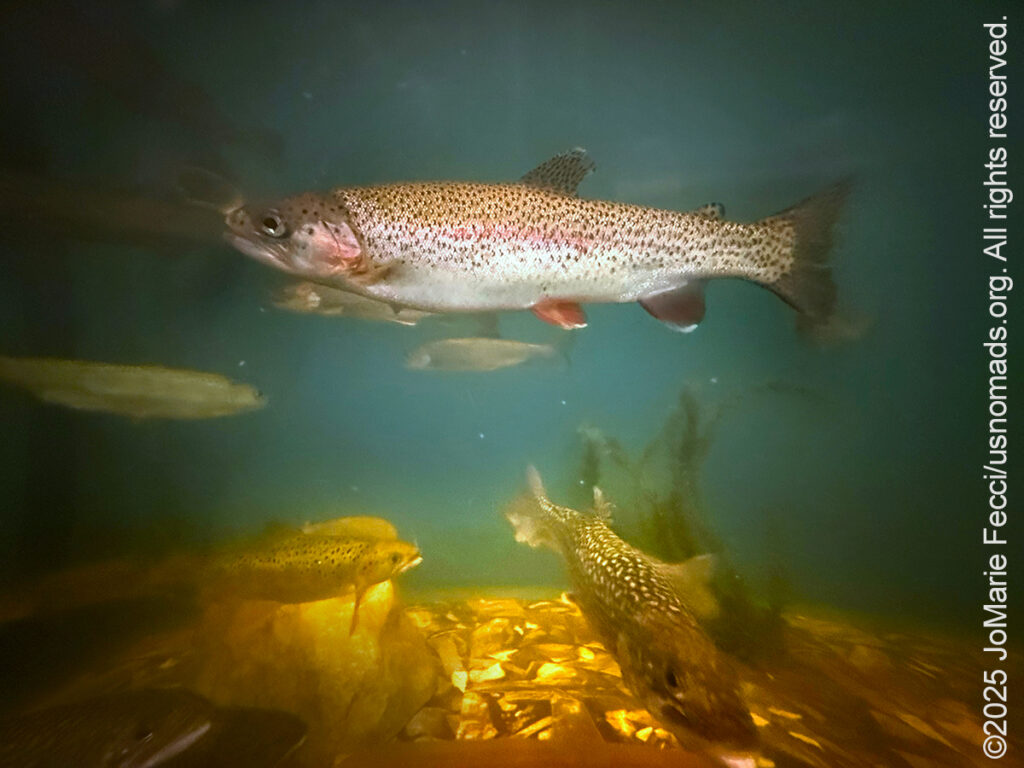
A Fish Story
Rainy Day in Town
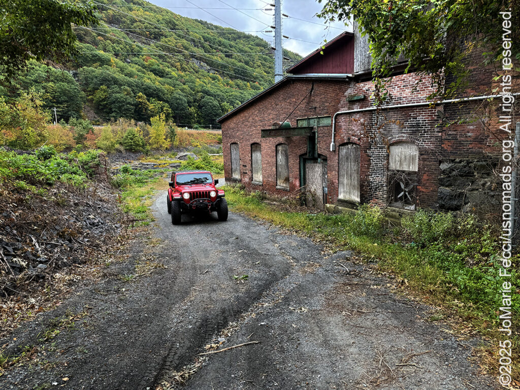
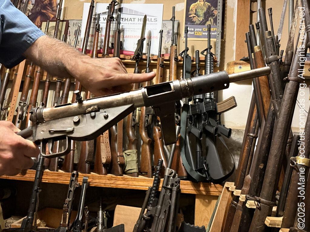
Artifacts of Industrialization
Some History and Some Music
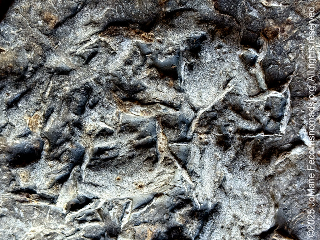
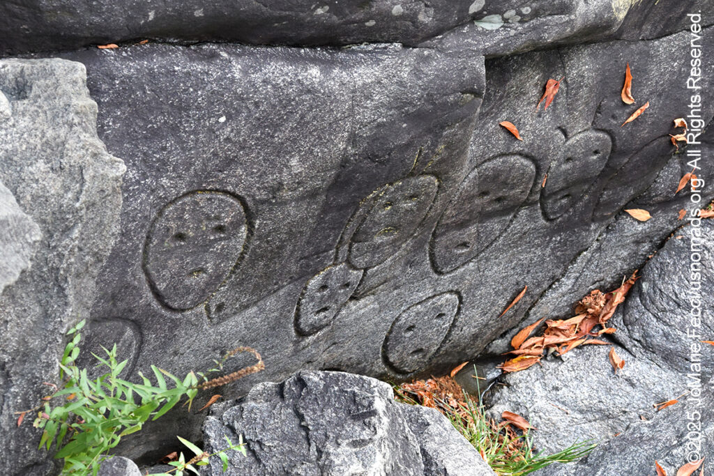
Mysterious Petroglyphs
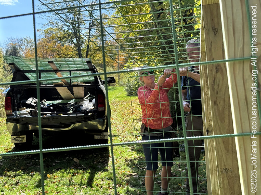
Welcome to Beaver Camp
Co-Existing with Beavers
The Return Home