Maryland’s Assateague Island is one of our favorite east coast waypoints for camping, driving on the beach and enjoying the wild ponies. The whole Maryland section of the Delmarva Peninsula contains a collage of beautiful wetlands with plenty of places to go exploring (even if most of the roads are paved).
Overview: Maryland tourism beyond the urban areas is largely focused on the beaches of the Eastern Shore and the historic and picturesque towns along the Chesapeake Bay. Summertime is chock-a-block with crowds in most areas, but off-season is a great time to explore the Atlantic Coast and the wetlands around the Bay. Planning on taking “the slow road” around Maryland? Check out the state’s scenic byways (the “Cape to Cape” scenic byway follows one of our preferred North South coastal routes).
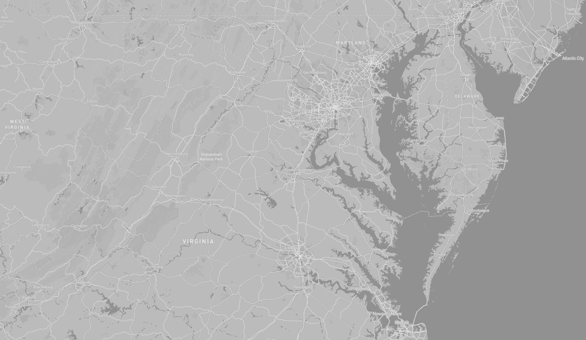
TOPOGRAPHY: Maryland has three distinctive regions defined by differing topography: the eastern part of the state with the Chesapeake Bay and the Atlantic Coast, the central section composed of the Piedmont and the western area containing numerous stretches of the Appalachian Mountains. Each of these areas has a unique look and feel ranging from sandy dunes dotted with seagrass in the east and low marshlands teeming with wildlife and large bald cypress near the Chesapeake Bay, to gently rolling hills of oak forests in the Piedmont Region, and pine groves in the Maryland mountains to the west.
The Chesapeake Bay nearly bisects the state, and the counties east of the bay are known collectively as the Eastern Shore. Most of the state’s waterways are part of the Chesapeake Bay watershed and the Chesapeake has historically played a central role in the state’s economic life.
Maryland has no natural lakes, mostly due to the lack of glacial history in the area. All lakes in the state today were constructed, mostly via dams.
The highest point in Maryland, with an elevation of 3,360 feet, is Hoye Crest on Backbone Mountain, near the border with West Virginia.
HISTORY: The Chesapeake Bay area was once inhabited by Paleoindians who hunted game and lived in small nomadic groups. According to archeologists, later Native American societies lived in villages of wooden longhouses close to water bodies where they fished and farmed the land. Agricultural products included beans, corn, tobacco, and squash. Villages often lasted between 10 and 20 years before being abandoned due to local resources such as firewood running out or soil depleting. As time went on, communities around Chesapeake Bay formed confederations such as the Powhatan, the Piscataway, and the Nanticoke. Each of these confederations consisted of a collections of smaller tribes falling under the leadership of a central chief. At the time of European contact the Native Americans in the area were mostly Algonquian peoples and, to a lesser degree, Iroquoian and Siouan.
Maryland’s early colonial settlements clustered around rivers and other waterways that empty into the Chesapeake Bay. Its economy was heavily plantation-based and centered mostly on the cultivation of tobacco. Demand for cheap labor from Maryland colonists led to the importation of numerous indentured servants and enslaved Africans. By the time of the Civil War, Maryland was moving away from plantation-style agriculture and beginning to industrialize. The state’s economy soared during the Industrial Revolution, driven by its seaports, railroad networks, and mass immigration from Europe.
Most of the historical Native American population in Maryland was composed of Algonquian and Iroquoian peoples, with a smaller Siouan-speaking population emigrating to the area in the mid-18th century. Many of the historical Native American peoples in Maryland assimilated into mainstream society and others were pushed into the Great Lakes region or Oklahoma as part of the “Indian removal efforts” in the 19th century. Today Maryland has no federally recognized tribes, but the state recognizes three tribes: the Piscataway-Conoy Tribe of Maryland, the Piscataway Indian Nation and Tayac Territory, and the Accohannock Indian Tribe.